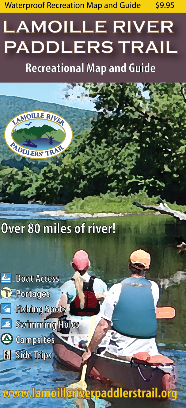
Lamoille River Paddlers Trail
This waterproof map guides paddlers, anglers, and river enthusiasts along 85 miles of Vermont’s picturesque Lamoille River, one of the finest paddling and angling rivers in the state. It also highlights the recreational opportunities throughout the river valley.
Unique design details include:
- Waterproof, eight panel, two sided map covering 85 river miles
- All river based recreational facilities (Access points, primitive campsites, campgrounds, portage trails, outfitters, points of interest)
- Other recreational opportunities (side hikes, bike paths)
- Natural and cultural history insights
- River mileages
- Recommended river trips and their durationsThis map covers the Connecticut River from its headwaters and 280 miles south to the Massachusetts border. Includes all access points, campsites, portage trails, and information on the area natural and cultural history.
Developed in partnership with the Vermont River Conservancy and the Northern Forest Canoe Trail with the help of University of Vermont students. Cartography by Noah Pollock. Copyright 2019.

