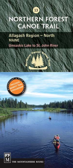
Map 13: Allagash Region (North) Maine
The 77-mile section of trail shown on this map includes an historic canoe route on the Allagash and St. John rivers in northern Maine.
The waterproof, tear-resistant map includes access, portage and campsite information, as well as local contact information, permit guidelines and fascinating information about local history, wildlife, geology and more.
Map 13 Details
• First printing 2004, revised 2022.
• Scale: 1:1,000,000 (1″ = 1.6 miles)
• Contour interval = 20m/60ft
• Folded size (4″ x 9.25″)
• Unfolded size (18.5″ x 36″)
Get Map 12: Allagash Region (South) Maine to have the entire Allagash Wilderness Waterway.
The Northern Forest Canoe Trail is divided into 13 sections, and each section has its own map with both route and interpretive information. See all maps here.

