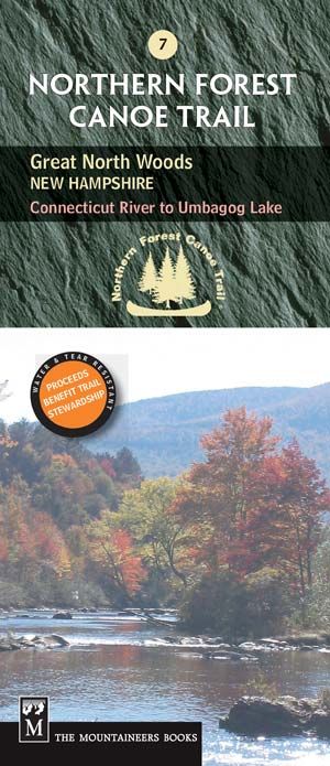
Map 7: Great North Woods, New Hampshire
This map shows the 64-mile section of the Connecticut, Upper Ammonoosuc, and Androscoggin rivers.
The waterproof, tear-resistant map includes access, portage and campsite information, as well as local contact information, permit guidelines and fascinating information about local history, wildlife, geology and more.
Map 7 Details
• First edition, 2005. Revised 2021.
• Scale: 1:1,000,000 (1″ = 1.6 miles)
• Contour interval = 20m/60ft
• Folded size (4″ x 9.25″)
• Unfolded size (18″ x 23.5″)
Experience the rest of the longest water trail in the nation!
The Northern Forest Canoe Trail is divided into 13 sections, and each section has its own map with both route and interpretive information. See all maps here.

